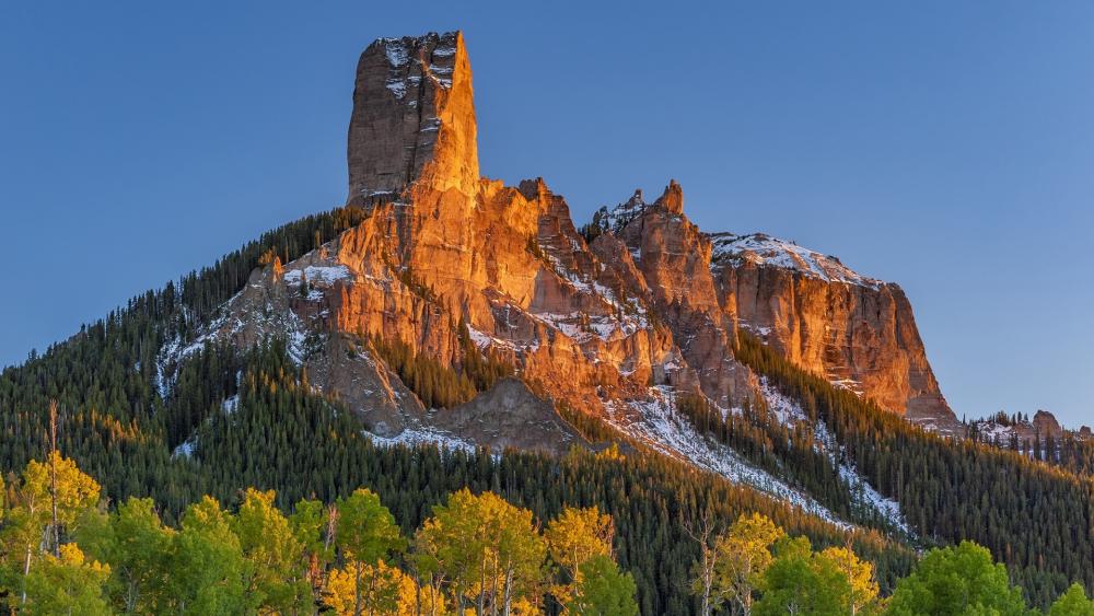
Courthouse, Jail, and Chimney rocks played different roles in overland navigation and face distinct modern management requirements.
| Formation | Elevation / Relief | Geological Composition | Pioneer Travel Role | Modern Site Management |
|---|---|---|---|---|
| Courthouse Rock | 4,054 ft elevation(~400 ft above plain) | Brule siltstone with Arikaree sandstone cap | Initial western landmark; visible for 30, 40 miles across the valley | Nebraska State Historical Society / Open public trails |
| Jail Rock | 3,940 ft elevation(~290 ft above plain) | Soft Brule clay and sandstone layers | Visual companion marker situated directly east of Courthouse Rock | State-managed public park area; primitive trail perimeter |
| Chimney Rock | 4,228 ft elevation(~325 ft total spire rise) | Interbedded volcanic ash, Brule clay, and sandstone | Most famous landmark on the overland trail; marked the entry into rough terrain | National Historic Site (NPS-affiliated) / Visitor center & paved trail |