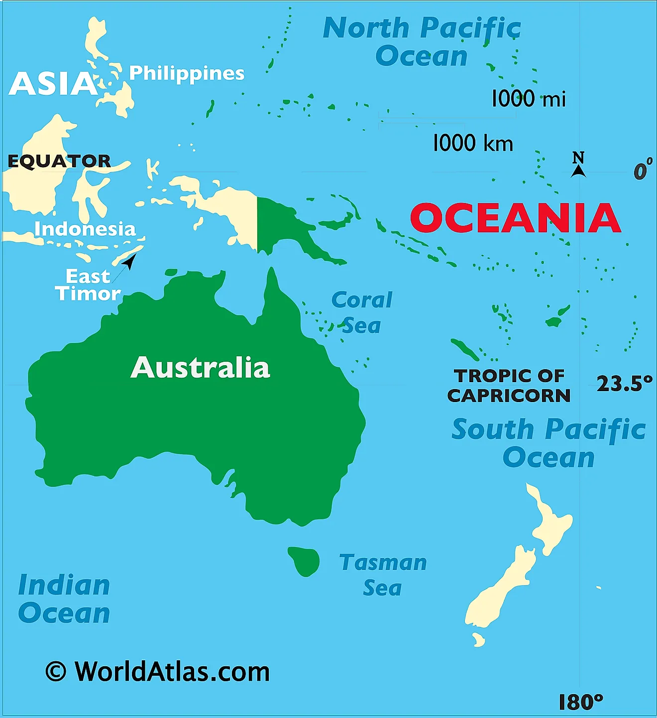
The visible shoreline of Australia does not mark its real geological edge. Drop sea levels by roughly 120 meters, as occurred during the Last Glacial Maximum 20,000 years ago, and a sprawling, dry terrestrial bridge emerges. This broader physical continent is scientifically termed Sahul (or Meganesia).
Underneath the shallow waters of the Arafura Sea, the Timor Sea, and the Torres Strait lies unbroken continental rock. This continuous shelf directly links the Australian mainland to the Tasmania and New Guinea landmass. New Guinea is politically split between the independent nation of Papua New Guinea and the Indonesian provinces of Western New Guinea, yet geologically, it shares the exact same basement rock as Queensland and Western Australia. When physical geographers classify the Australian continent, they evaluate this broader interconnected shelf, not just the red-dirt deserts visible on satellite passes.
| Geographic / Political Entity | Classification Category | Primary Tectonic / Geological Affiliation | Key Sovereign Jurisdictions Included |
|---|---|---|---|
| Commonwealth of Australia | Sovereign nation-state | Mainland section of the Australian Plate | Australia (federal constitutional monarchy) |
| Sahul (Australia-New Guinea) | Physical continent / Landmass | Interconnected continental shelf boundaries | Australia, Papua New Guinea, Indonesia (West Papua) |
| Zealandia (Te Riu-a-Māui) | Submerged continental crust | Fragmented Pacific / Indo-Australian crust | New Zealand, New Caledonia (France) |
| Oceania | Geographic & geopolitical region | Multiple tectonic plates and oceanic basins | 14 sovereign nations and dependent island territories |