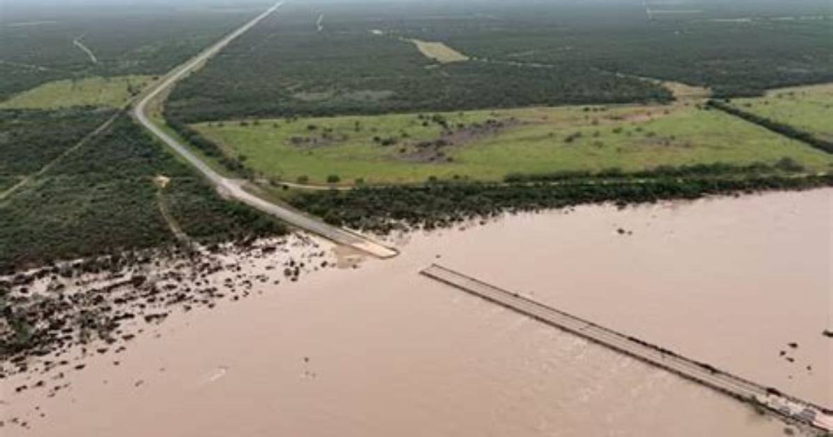
The scale of the 2026 event rivaled some of the most intense historical crests recorded in southwest Texas. The table below outlines the progression of the storm, river behavior, and corresponding emergency actions logged during the peak 48-hour event window.
| Date & Time | Hydrological Metric / River Crest | Emergency Action Taken |
|---|---|---|
| July 16, 2026, 22:00 | Rainfall reaches 3.2 inches; soil saturation at 100% | NWS issues Regional Flood Watch across Uvalde & Medina |
| July 17, 2026, 03:15 | Nueces River surges past 18.4 feet (Moderate Flood Stage) | Flash Flood Emergency declared; high-water sirens triggered |
| July 17, 2026, 06:45 | Nueces River crests at 24.1 feet (Major Flood Stage) | Mandatory evacuations along lower riverbanks; 30+ rescues underway |
| July 17, 2026, 12:00 | Cumulative rainfall peaks at 11.4 inches north of town | State of Emergency confirmed; Texas disaster relief staging begins |
| July 18, 2026, 08:00 | Rivers fall back below moderate flood threshold | TxDOT structural bridge assessments and route clearing initiate |